Auckland Council Geomaps
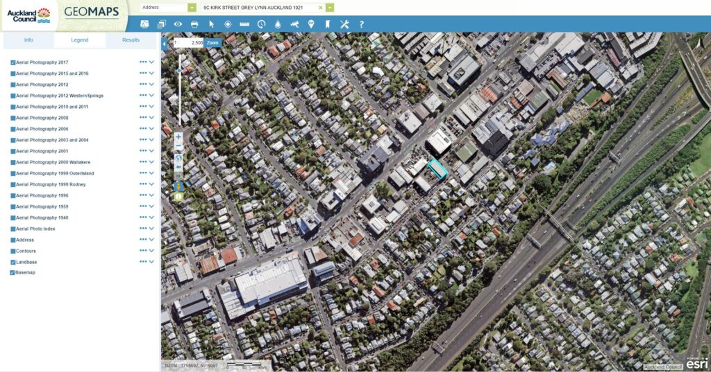
If your property is in Auckland, planning information can be found on the council website, Geomaps. The Geomaps website is much like Google maps, in that it provides an aerial view of your property and the surrounding area. Dixon Wild use Geomaps to find out a property’s planning zone, the terrain and underground services like stormwater and sewerage drains.

The image above shows an aerial view of the Dixon Wild Architects office and its surrounding environment.
Auckland Unitary Plan Zone:
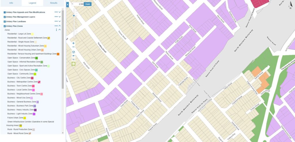
You can use Geomaps to find out your properties Unitary Plan Zone. There are specific rules that apply to each zone; they dictate what you can and can’t do to your property. For instance, some zones only allow for a single dwelling on the site; while others permit two, three or even terraced housing on a given site.
Where to find your zone:
You can find your properties zone by visiting the Auckland Council’s Unitary Maps website.

The image above has been taken from the Geomaps website. This view indicates the zone for each property. Our office is listed as Business – Mixed Use Zone. Once you know the zone of your property, you can determine identify the zones constraints. A properties zone is important to designers, because if a project does not comply with the planning rules it may need a resource consent. Dixon Wild Architects can help with this, we have completed many resource consents over the years!
________________________________________________
For more information, please see the following links:
Auckland Council, Auckland Unitary Plan
Auckland Council, Resource Consent Information
DWA Blog post, Resource or Building Consent?


